Showing posts with label Garmin GPS. Show all posts

Saturday, August 24, 2013

2013 HUNTING ATLAS NOW AVAILABLE ONLINE

Atlas features 60 detailed maps with more than 1 million acres of prime hunting locations
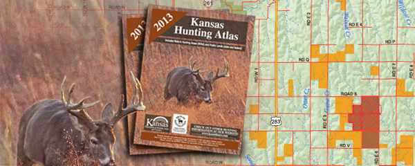
PRATT – With maps showing the location of more than 1 million acres of land open to hunting, the 2013 Kansas Hunting Atlas, available online now, is a must-have for hunters. Whether you’re looking for the perfect duck hunting marsh, scouting for land rich with upland birds, or scanning woodlots for the perfect place to set up your tree stand, Kansas Department of Wildlife, Parks and Tourism’s hunting atlas is the perfect tool Better than ever, the newly-redesigned hunting atlas features maps with shaded relief backdrops, county road names (where available), stream names, and much more. All state, federal and Walk-in Hunting Access areas are shown, color-coded for ease of use.
The atlas also features 2013 season dates and an outline of new regulations, making it quick and easy for hunters to get up-to-speed on important changes.
To view the atlas online, visit ksoutdoors.com and click “Hunting,” then “Where to Hunt,” then then “2013 Fall Hunting Atlas.” Hunters can also download an electronic version of the atlas from the KDWPT website, and file downloads that can be loaded onto Garmin GPS units. There are also file downloads for Android and iOS devices that can be used with Google Earth. The 2013 Hunting and Furharvesting Regulations Summary is also available on the KDWPT website. Printed versions of both pamphlets will be distributed in early September.

Tuesday, March 19, 2013

SPRING TURKEY HUNTING ATLAS MORE THAN MAPS

2013 Spring Turkey Hunting Atlas features information valuable to all hunters
The Kansas Department of Wildlife, Parks and Tourism (KDWPT) 2013 Spring Turkey Hunting Atlas is now available. In addition to maps, the 66-page atlas will also feature area contact information, sunrise-sunset tables, cabin locations, and information on Walk-In Hunting Access (WIHA) areas, making it a must-have for all hunters.

“Nearly 200,000 acres are currently enrolled in the spring WIHA program, so public hunting opportunities abound in Kansas this spring,” said KDWPT private lands coordinator Jake George. “In addition, the spring hunting atlas will look considerably different to those who recall the format used in previous years.”

The new layout will also be used in the Spring 2013 Fishing Atlas and Fall 2013 Hunting Atlas. The long-overdue changes include the addition of a shaded relief backdrop, county road names (where available), stream names and much more.

“It is our hope that the new atlas will make it easier for hunters to get out, locate, and utilize these WIHA tracts,” said George.

Hunters can download an electronic version of the atlas from the KDWPT website, and file downloads that can be loaded onto Garmin GPS units. There are also file downloads for Android and iOS devices that can be used with Google Earth.

The 2013 spring turkey season will begin with the archery and youth/disabled season April 1-9, followed by the regular firearm season April 10-May 31.

2013 Spring turkey permit for Units 1, 2, 3, 5 and 6 are available online or at any license vendor through May 30.

Hunters who drew a Unit 4 (southwest Kansas) spring turkey permit earlier this year may also use their Unit 4 permit in adjacent Units 1, 2 and 5.